


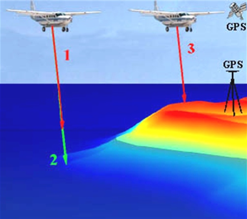
After seeing our newest drone and Lidar unit last Friday, I decided to do some more research. Lidar (Laser or Light Detection and Ranging), a remote sensing technique using light to collect topographic data about terrestrial landscapes is perfect for monitoring our chasing coastline. Components of Lidar include:
- laser scanner
- telescope allowing measurement of backscattered light
- electronics and electro-optical components
Lidar is an improvement over traditional methods because of the speed and high spatial resolution over which we can obtain data over large areas. The two main systems include topographic and bathymetric lidar.

it is going to be a great tool for the lab to collect data with in the future. I can imagine future capstone projects having a waiting list to use the S1000 in different projects.